9.8 km | 11.2 km-effort
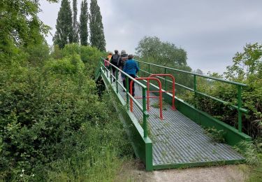
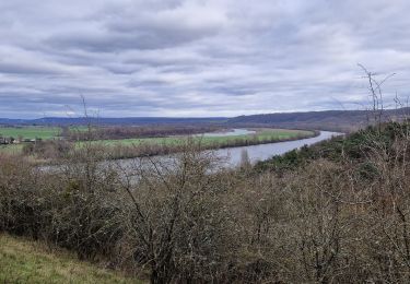
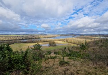
Venables - Autour du lac de Venables
marcel.F
User
Length
13.4 km
Max alt
130 m
Uphill gradient
176 m
Km-Effort
15.7 km
Min alt
6 m
Downhill gradient
175 m
Boucle
Yes
Creation date :
2015-09-06 00:00:00.0
Updated on :
2015-09-06 00:00:00.0
3h26
Difficulty : Easy
FREE GPS app for hiking
About
Trail Walking of 13.4 km to be discovered at Normandy, Eure, Les Trois Lacs. This trail is proposed by marcel.F.
Description
Boucle au départ du parking de la mairie de Venables
Positioning
Country:
France
Region :
Normandy
Department/Province :
Eure
Municipality :
Les Trois Lacs
Location:
Unknown
Start:(Dec)
Start:(UTM)
375892 ; 5451072 (31U) N.
Comments
Trails nearby
rando venables
Walking
Medium
Les Trois Lacs,
Normandy,
Eure,
France
10.9 km | 13.1 km-effort
3h 2min
Yes
20230202-Heudebouville
Walking
Medium
Heudebouville,
Normandy,
Eure,
France
12.1 km | 15.1 km-effort
3h 55min
Yes
Gaillon-StAubin-Brillehaut
Walking
Medium
Gaillon,
Normandy,
Eure,
France
11.3 km | 14.7 km-effort
3h 9min
Yes
Ailly-AtraversPlateauMadrie_14Km
Walking
Easy
Ailly,
Normandy,
Eure,
France
14.1 km | 16 km-effort
3h 30min
Yes
Villers-Venables_13Km
Walking
Medium
Villers-sur-le-Roule,
Normandy,
Eure,
France
11.9 km | 14.9 km-effort
3h 10min
Yes